Remote Sensing: Discovering the World from Afar
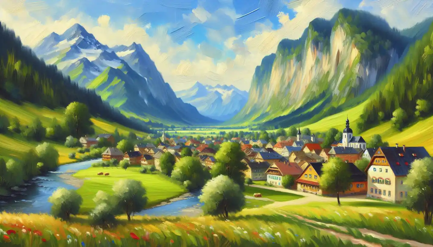
Remote sensing in GIS lets us see the world without leaving home. Discover its impact on mapping and geographic exploration.
Remote sensing in GIS lets us see the world without leaving home. Discover its impact on mapping and geographic exploration.

Choropleth maps use colors to represent data on geographical maps, making complex info easily understandable. Dive into how these colorful maps transform data into vivid stories.
Overlay analysis uncovers the many layers of geographic puzzles. Learn how GIS uses this technique to reveal hidden stories.

Map algebra unlocks the hidden potential of spatial data by allowing complex calculations. Learn how GIS enthusiasts use it to transform raw geographic data into meaningful insights.