· Geography · 5 min read
Map Algebra: Discovering Spatial Wonders in GIS
Map algebra unlocks the hidden potential of spatial data by allowing complex calculations. Learn how GIS enthusiasts use it to transform raw geographic data into meaningful insights.

Understanding the land around us has never been more important. The way our neighborhoods, cities, and entire ecosystems function relies heavily on spatial data. Within the realm of Geographic Information Systems (GIS), a technique known as map algebra helps us make sense of these data by providing a way to analyze, manipulate, and visualize geographical information. So, what exactly is map algebra, and why is it so revolutionary?
Think of map algebra as a unique language that allows us to “speak” directly with the maps and spatial data. This technique uses a series of mathematical operations and functions to perform calculations on the raster data stored in GIS. A raster is like a big, grid-like digital photograph, where each little square, or pixel, contains information about what it covers on the Earth’s surface. These could be satellite images, topographical maps, or even climate models.
The Language of Maps
The beauty of map algebra lies in its simplicity and flexibility. Imagine you want to find the areas in a city that are most susceptible to flooding. You could use map algebra to combine layers of data—such as elevation, rainfall, and drainage systems—to create a new layer highlighting potential flood zones.
Map algebra essentially operates like a basic arithmetic course but on a grand, spatial scale. It involves basic operations like addition, subtraction, multiplication, and division, combining these with logical operations such as comparisons. For example, you could ask the system to highlight areas where rainfall exceeds a certain threshold while also being on flat land.
Layers and Operations
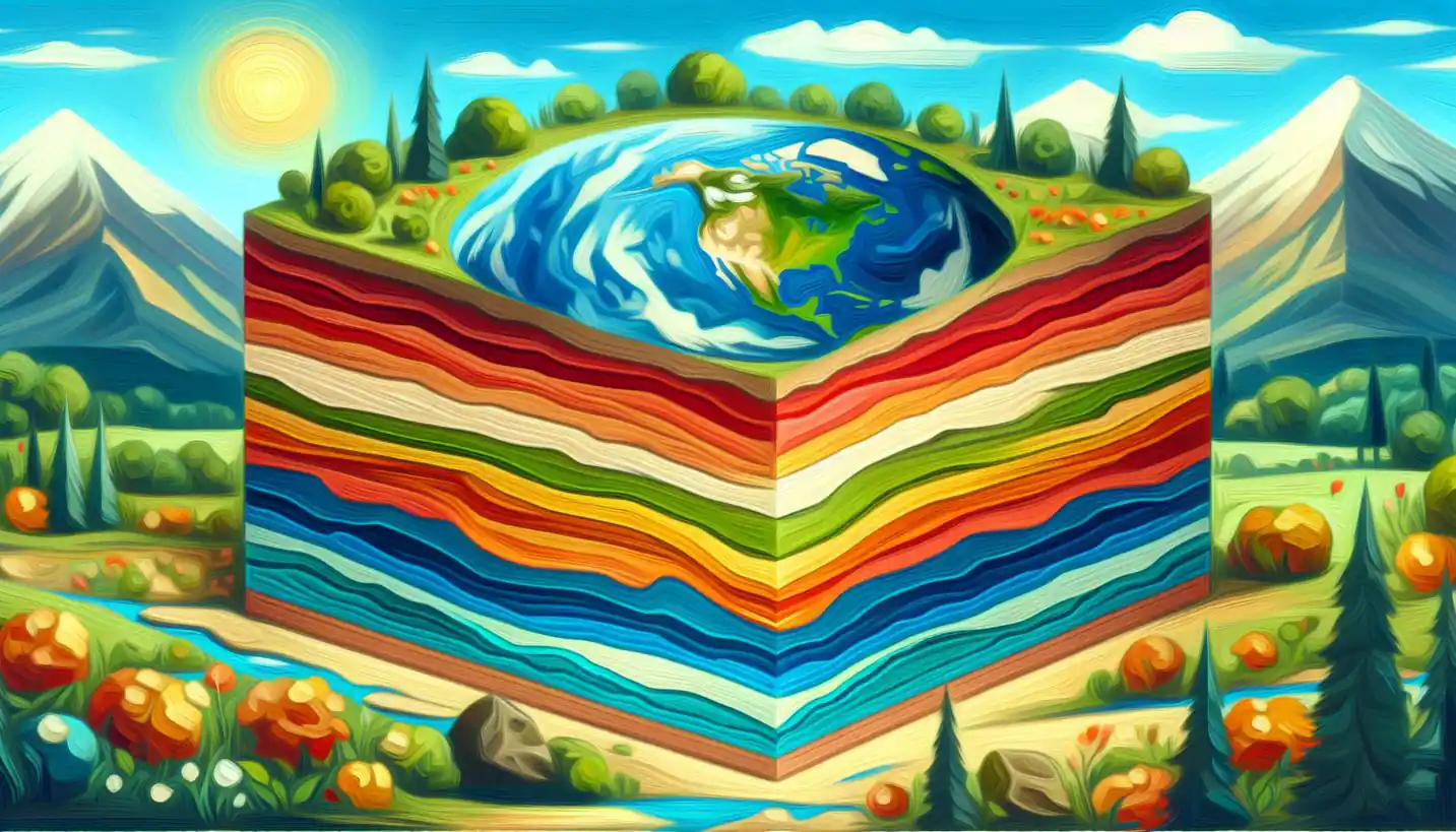
At the heart of map algebra are layers and operations. The layers are like stacked sheets of tracing paper, each representing different data, like vegetation or urban infrastructure. By using operations, you can add these layers together to reveal new insights. It’s a method of peeling back each aspect of the geographical landscape to see how they interact with one another.
One of the magical parts of map algebra is how it can extract seemingly hidden patterns and relationships from these layers. For instance, you might discover that regions with denser plant life have better air quality or that specific urban layouts lead to higher traffic congestion.
Real-Life Applications
Map algebra isn’t just a tool for academics and researchers; it’s crucial for real-world applications. Urban planners use it to decide where to build roads and parks. Conservationists apply it to identify habitats in need of protection. In agriculture, farmers utilize it to plan crop rotations and water management. Essentially, it’s a bridge between the digital representation of our world and practical, hands-on decision-making.
For example, a city might be interested in identifying areas that receive the least sunlight during winter. Using map algebra, planners can use digital elevation models alongside sun path data to visualize and pick out these zones, leading to better decisions about where to develop solar energy sources.
Bridging the Past and Future
The concept of map algebra holds deep roots in geography, linking traditional cartography methods with today’s advanced digital technologies. It captures the imagination because it provides a means to predict future scenarios by analyzing past and present data trends. This touches on questions that are at the core of humanity’s interaction with the Earth: How have we changed the land? What will happen if certain trends continue?
Moreover, map algebra is inspiring new realms of innovation. As machine learning and artificial intelligence become more integrated into GIS, map algebra can power predictive models to foresee everything from environmental changes to urban growth patterns.
Challenges and Future Directions
While powerful, map algebra does come with its challenges. Handling large sets of raster data can be computationally intensive. Ensuring accuracy across different datasets requires careful consideration, as errors can propagate through analyses, leading to misleading conclusions.
Looking ahead, the integration of machine learning with map algebra could offer even more advanced insights. Imagine a future where this combination can automatically detect subtle environmental shifts or predict infrastructural needs before they arise.
For students and professionals looking to delve into GIS, mastering map algebra might just be the key to unlocking a new world of possibilities. This tool’s inherent ability to decipher complex spatial puzzles makes it indispensable for addressing the challenges of the 21st century.
The Importance of Spatial Understanding
As our global population grows and urban areas expand, understanding spatial relationships becomes vital. It’s not just about having maps but possessing the tools to interpret and utilize them effectively. Map algebra offers that means, allowing us to interact dynamically with our environment like never before.
The field of GIS, backed by map algebra, continues to be at the frontier of technological development, setting strides in how we understand our constantly changing world. Every new advancement builds on the age-old human desire to chart, explore, and comprehend the landscapes we inhabit.
By exploring the wonders of map algebra, we open doors to better planning strategies, more sustainable practices, and enriched understanding of the natural and built world. It’s a testament to human ingenuity and our quest to decode the complex language of the Earth into insights that shape a better, informed future.


