· Geography · 5 min read
LIDAR: Mapping Our World from Above with Laser Precision
LIDAR technology maps the Earth's surface using laser precision from above. Explore how it captures landscapes and structures with incredible accuracy.
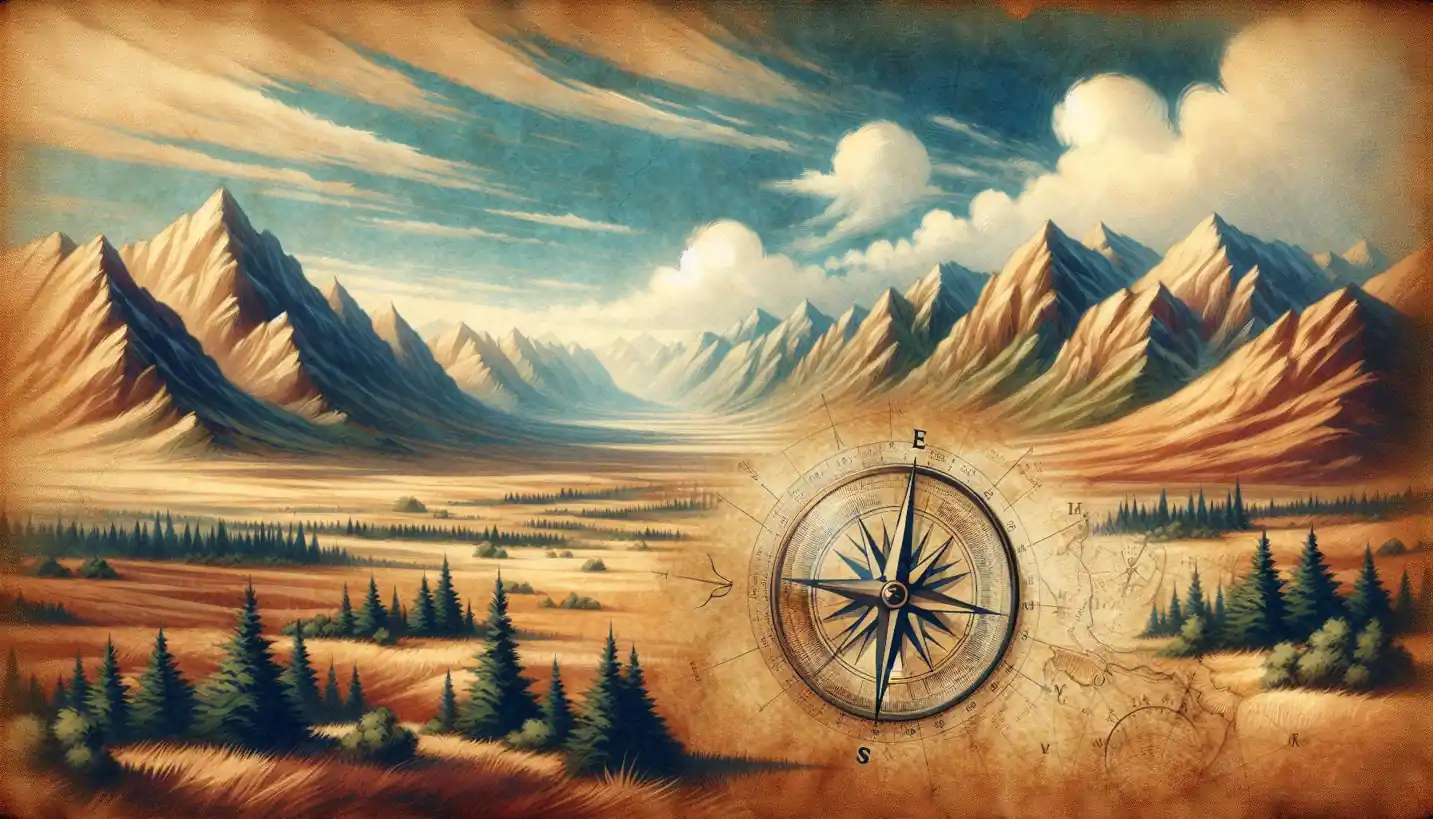
When you think about maps, you might picture those colorful paper sheets folded awkwardly into your glove compartment. But in the high-tech world we live in today, mapping has taken on a whole new dimension, quite literally. This is where LIDAR, which stands for Light Detection and Ranging, comes into play. It’s a way to read the landscape with incredible accuracy using lasers, and the implications are pretty exciting.
LIDAR works by shooting out a laser beam from an instrument, often mounted on an aircraft or a drone. As this laser hits an object, whether it’s a tree, a building, or the ground, it bounces back to the instrument. By measuring how long it takes for the laser to return, the LIDAR system can calculate the distance to that object. When this process is repeated millions of times over a landscape, you get a highly detailed map of the terrain.
How LIDAR Works: The Science Behind the Magic
To understand how LIDAR really works, think of it like a game of catch. Imagine you’re tossing a ball (in this case, a laser pulse) to a friend, and they’re standing some distance away. The time it takes for the ball to leave your hand and return tells you how far away your friend is. LIDAR does something similar but with light—and it does it millions of times faster than any ball game.
These laser beams form a grid of data points known as a point cloud, which is essentially a 3D model of whatever the laser touched. Each point contains precise information about its position in space, giving us detailed insights into the geography of the area. This precision is one of LIDAR’s biggest advantages. It can detect changes in elevation down to a few centimeters, making it perfect for detailed mapping tasks.
Applications of LIDAR in Spatial Analysis
So, how do we use this high-tech marvel in geography and spatial analysis? LIDAR is incredibly versatile, used in everything from urban planning to agriculture.
In urban planning, LIDAR is employed to create detailed models of cities. These models help planners understand the layout of existing structures and terrain, which is crucial when considering new developments. By mapping out every building, park, and road with precision, city planners can make informed decisions about where to build new infrastructure without the guesswork.
In forestry and agriculture, LIDAR helps manage natural resources. Farmers use it to monitor crop health by looking at the height and density of vegetation. In forests, it can help identify tree species, measure biomass, and assess forest health, all without having to touch a single leaf.
Archaeologists have also jumped on the LIDAR bandwagon. In dense jungles or remote areas where the terrain is difficult to traverse, LIDAR can scan the surface to reveal hidden structures like ancient ruins or forgotten paths, providing insights into past human activities.
The Historical Journey of LIDAR
The journey of LIDAR technology is somewhat akin to the adventures of our favorite inventors. It was first developed in the 1960s, around the same time when lasers were becoming a hot topic in scientific research. Initially, it was used by meteorologists to gauge clouds and various atmospheric phenomena. The technology truly lifted off (pun intended) when NASA decided to use it for studying Earth and planetary surfaces.
In recent years, improvements in technology have made LIDAR more accessible and affordable. What was once a tool only available to large organizations can now be mounted on small drones, opening up new possibilities for researchers, businesses, and even hobbyists.
Future Prospects and Challenges
Like any superhero technology, LIDAR is not without its challenges. One of the primary issues is the sheer volume of data it generates. LIDAR creates massive datasets that require sophisticated software and powerful computers to process. Managing and interpreting this data can be daunting, but as computer technology advances, these challenges are slowly being overcome.
Privacy is another concern, especially in urban environments. The ability of LIDAR to capture detailed images of private properties has raised questions about surveillance and data security. Balancing the benefits of LIDAR with ethical considerations is an ongoing conversation.
The future of LIDAR is bright. With advancements in machine learning, the interpretation of LIDAR data will continue to improve. Self-driving vehicles are a particularly exciting frontier, as LIDAR can be used to navigate and understand roads, obstacles, and more, potentially transforming how we transport goods and people.
Why LIDAR Matters
So, why should we care about LIDAR? Its ability to create highly accurate maps of the Earth’s surface has implications for nearly every field of science and industry. Whether it’s planning safer and more efficient cities, protecting our natural resources, or discovering the secrets of ancient civilizations, LIDAR opens up a new world of possibilities.
By allowing us to “see” the world in ways not possible before, LIDAR is like a new set of eyes that help us explore and understand the intricate details of our planet. Whether you’re a city planner, a farmer, an archaeologist, or just someone fascinated by cutting-edge technology, LIDAR’s applications are truly transformative.
In a world that is rapidly changing, tools like LIDAR give us the precision and clarity we need to make smart, informed decisions. As this technology continues to evolve, imagine the possibilities—new discoveries, innovations, and solutions to problems we haven’t even thought of yet, all driven by these invisible beams of light that map our world.